Format
eLearning (E)
This eLearning course typically takes 3 hours to cover all content. The course is hosted online 24/7. It includes step by step lessons comprising of a combination of written notes, background content videos, demonstration videos and hands-on exercises.
This eLearning course is free and can be carried out on and off when the user chooses within the allocated 6 week registered access period. You will access the training via the TUFLOW eLearning portal.
Prerequisites
This course teaches entry level QGIS and Notepad++ skills needed for other TUFLOW Product Suite modelling courses. You will need to have software installed and tested on your computer. Therefore, prior completion of the following free eLearning courses is required:
As the name suggests this prerequisite course will step through the preparation steps (installation and configuration) of the required programs used for the TUFLOW eLearning workshops. Login details for TT000 and TT001 will be provided together when you register for this workshop via the section below.
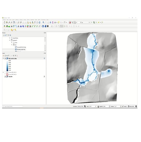
QGIS version v3.40 or later must be used for this workshop. If you already have a version of QGIS installed, though it is older than 3.40, please install the latest version. This information is outlined in the prerequisite instructions included in TT000, though is fundamental to the successful running of this course, and as such is worthwhile reiterating.